In “Smartphone: The Networking of the Self,” Adam Greenfield describes a useful scenario: “Consider what happens when someone in motion loses their connection to the network, even briefly: [they] lose connectivity even for the time it takes to move a few meters, and they may well find that they have been reduced to a blue dot traversing a featureless field of grey.” He goes on to explain that in that moment, the person looking at the small blue dot, looking at the vast grey plane, confronts the way their smartphone mediates their everyday through complex and invisible “infrastructures.” What this scenario does is reveal what Laura Kurgan might call “a profound decentering or disorientation” or a “loss of absolute reference points” (16). A birds-eye view turns the viewer into a reference point, the only reference point.
What’s interesting to me in this scenario is that the user is looking at their phone, and on their phone is a representation of their own body, a little blue dot, and a failed representation of the world — grey. That grey screen reveals the opacity of the systems that Google uses — it also reveals a representational failure, a blip, a rupture. If the map were functioning “correctly” it would seem to build itself around the blue dot, positioning the body as the single most important reference point, gathering the data around it. Its movements move the world with it, at least that is what it looks like… that is how it’s represented. Describing being at the top of the World Trade Center Michel De Certeau wrote that “[…] the fiction of knowledge is related to this lust to be a viewpoint and nothing more” (De Certeau, 92). These perspectives, from above, these “military view[s],” like Google Earth and Google Maps, give us the impression of being all-knowing (Kurgan, 25).
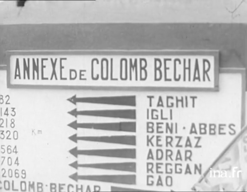
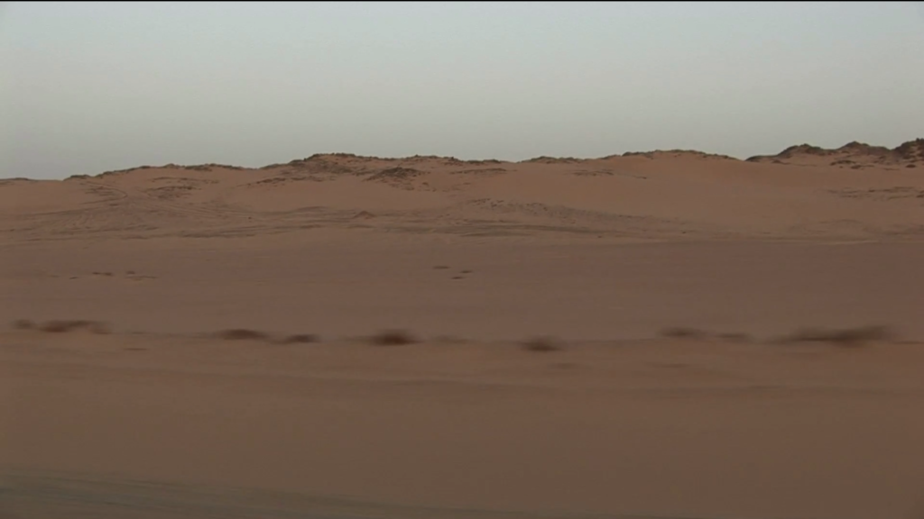
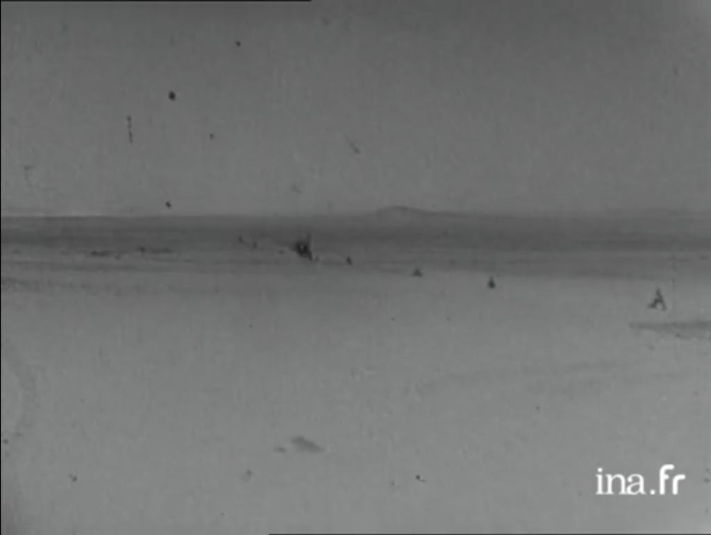
In 1956, two years into the Algerian war for independence, Michèle Cancre, France Degand, and Janine Delbert, three young French women, set out on an adventure. They drove from Algiers to Mali, to Niger, to Nigeria, Cameroon, and Bangui — which today is in the Central African Republic — and then back. Their expedition was filmed for Radiodiffusion-Télévision Française, and broadcast as a series of nine episodes over the summer of 1956. Their journey south took the western route, stopping in Colomb-Béchar on their way to Gao in Mali (See Figure 1). On their way back, the team looked a little different. Janine contracted a bad case of malaria and was sent back to Paris, and somewhere in central Africa, they were given a baby leopard, Zooma. And so, France, Michèle and little Zooma, take what is today the Nationale 1 through In Guezzam (the entire series is available here). This route is also the one Chawki Amari and Henri-Jacques Bourgeas take in their 2011 documentary Nationale 1. In both “Trois Femmes en Afrique” (1956) and Nationale 1, the approximately 400 kilometers between In Guezzam and Tamanrasset happen in a flash, as if there is nothing there (See Figures 2 and 3).
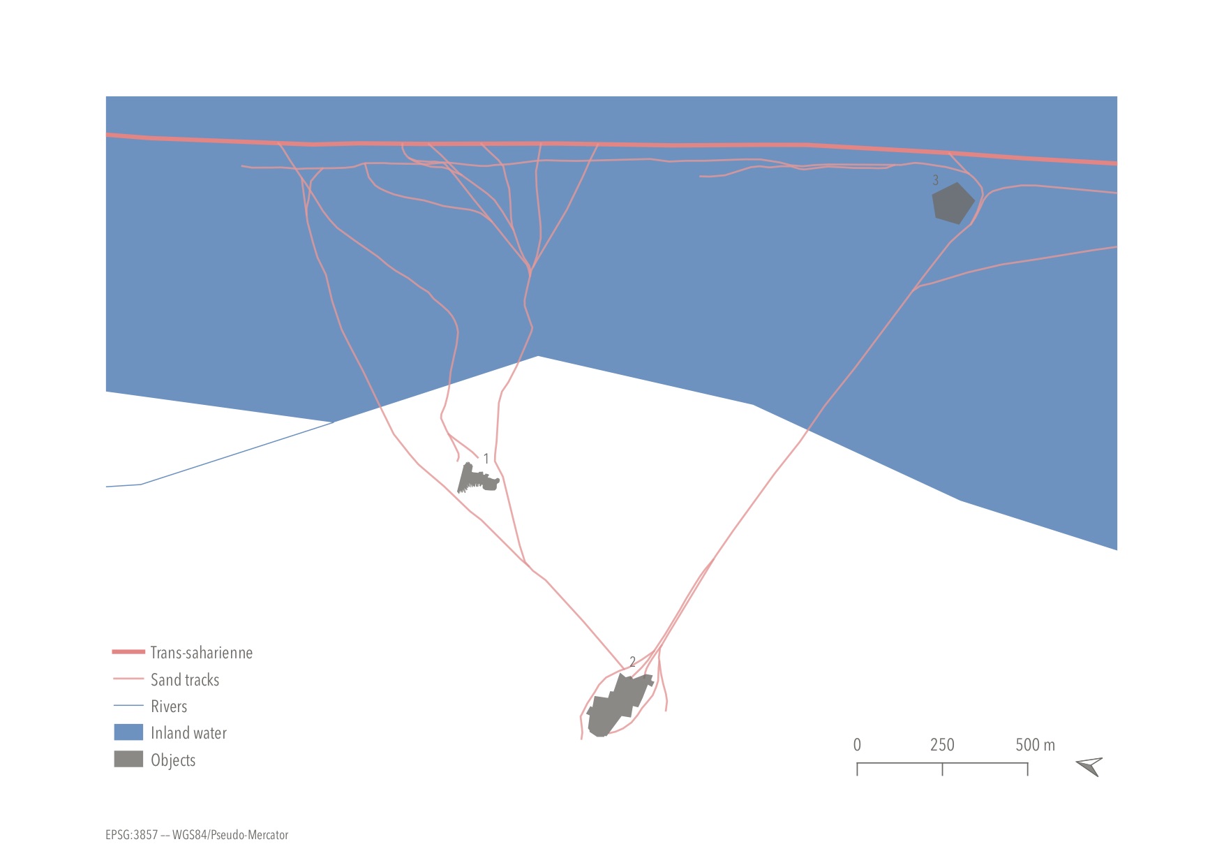
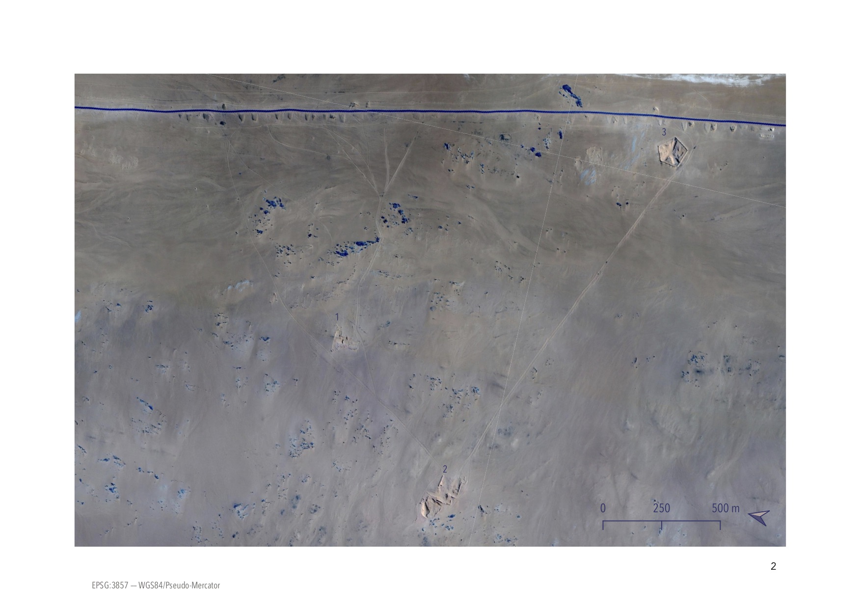
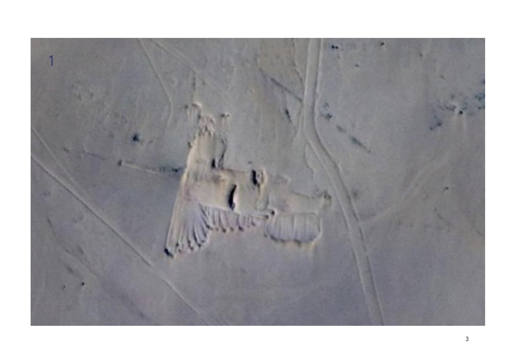
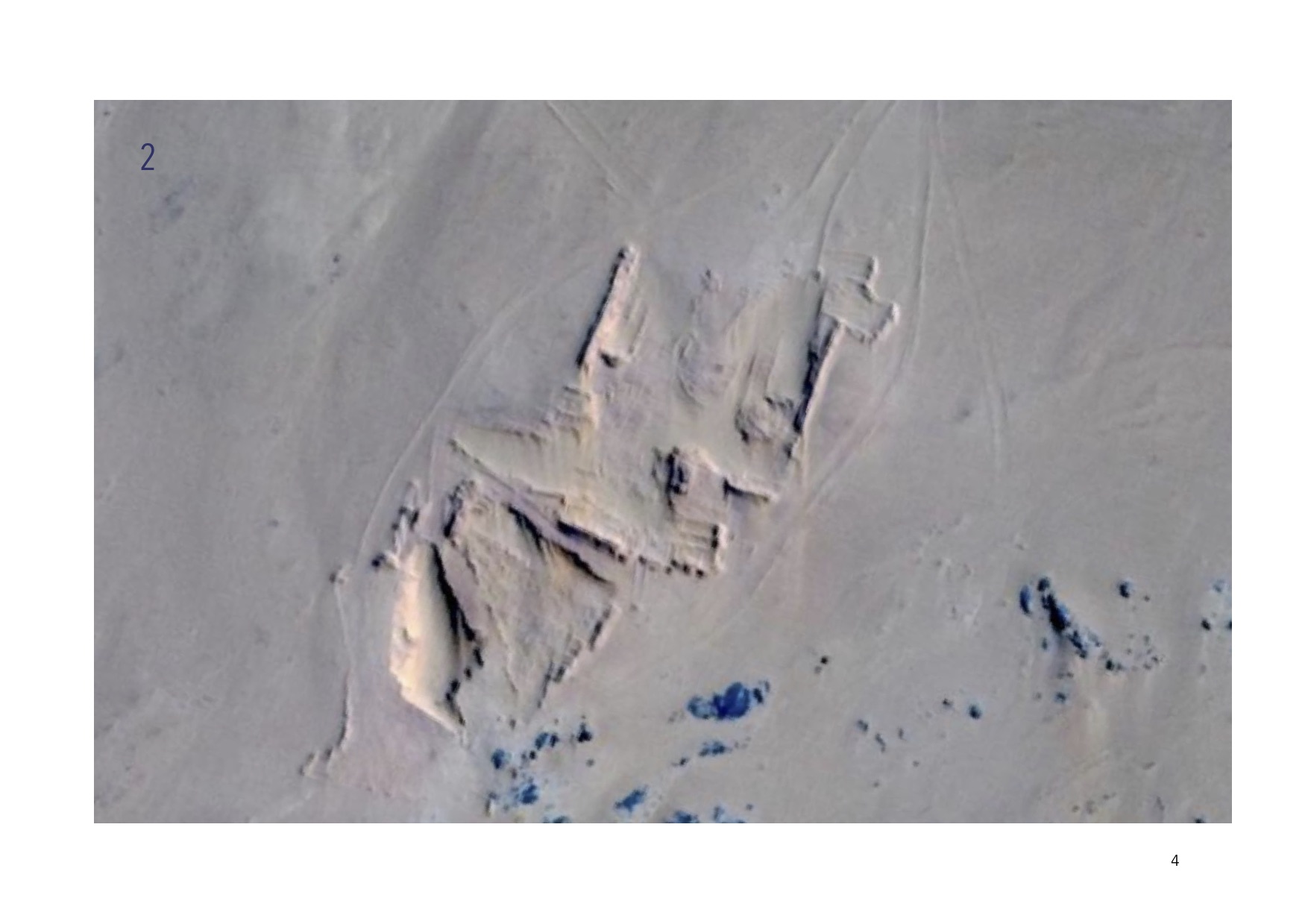
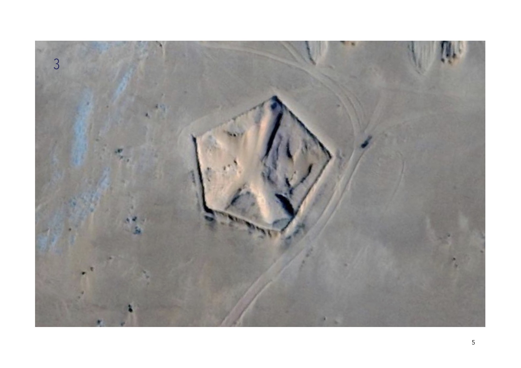
What is there? This project did not begin with this question; that came later. I started off wanting to see what the current Nationale 1 would look like superimposed with a 1904 map of the Algerian south. In order to do this I was going to need a vector file of Algerian roads. When I compared the existing vectors of Algerian roads to satellite imagery of the Nationale 1, the roads represented in the vectors were wildly inaccurate. I decided to build my own vector. Using the satellite images as reference, I began drawing the Nationale 1 by hand, every corner and curve, and long stretches of straight road. I began noticing tracks in the sand, tracks that either seemed to lead to nowhere, or that led to unidentifiable shapes. My inability to decipher these objects in the sand, to understand where these tracks were leading to became the center of my inquiry. Noticing these illegible structures broke the rhythm of my process.
Anyone familiar with geographic information systems (GIS) might be familiar with the tedious process of building vectors. This mapping project then was the result of an exploration, of a repetitive action along the length of the Nationale 1, what Henri Lefebvre might call a “rhythm” of clicking and dragging my cursor from point to point, following the bends and bumps of the road. There was something surprising about this rhythm, a kind of choreography. And although on the surface the choreography seems mechanical and cold — there was in fact space for improvisation, and even space for discoveries. Maps give the impression of being true — they seem absolute in their scope and reach. They are representations of space masked as truth. Disembodied Discovery tries to interrogate that purported knowledge by making space for questions, unknowns and speculations — for alternate “lines of flight” (Deleuze and Guattari). Adam Greenfield writes that “We tend to assume that our maps are objective accounts of the environment, diagrams that simply describe what is there to be found. In truth, they’re nothing of the sort” and that “our sense of the world is subtly conditioned by information that is presented to us for interested reasons, and yet does not disclose that interest.” Maps present as empirical, as factual when in truth they “construct space — physical, propositional, discursive, political, archival, and memorial spaces” (Kurgan, 14). My process, of tracing the Nationale 1, is a testament to this ambiguous characteristic: the vector data available showed one pathway while the satellite imagery showed another. I decided to work with the Google satellite image, because I believed it to be more accurate, more truthful.
Something interesting happened as I was moving north with my rhythm of clicks and cursors. In many places — especially in the southern stretch between In Guezzam and Tamanrasset, the road disappears from the satellite image, melding into the pale-yellow of the surrounding sand. The desert doesn’t obey infrastructure. I scan the sand for even a shadow, a speck of tar, to give me a clue as to where the road could possibly be. I improvise, taking my cursor a little to the west then a little to the east — always moving north — I essentially sketched out an imaginary section of the Nationale 1. What else disappears in the sand?
Since 2009 the Comité de Liaison de la Route Transsaharienne (CLRT) has been working on expanding on existing infrastructures to build a highway connecting Algiers to Lagos, Tunis to the Nationale 1, Tamanrasset to Bamako, Niamey, and N’Djamena. The cost of the nearly 10,000 kilometer trans-Saharan highway is estimated at 515 million US dollars. Funding for the expansion comes from various institutions including the Islamic Development Bank, the Arab Bank for Development in Africa, and the Kuwait Fund for Arab Economic Development. The China State Construction Engineering Corporation has been working on the highway project since 2013. Many economic and political ties are embodied in the transaharienne project — ties of power and trade that are invisible in the satellite image (for more on the transsaharienne). In addition to these state-level ties, there are micro socio-economic ties that are made nearly invisible by the satellite image. For Google Earth the transaharienne is empty. There are no trucks and no cars. There are no people. Laura Kurgan writes that “the ease of the Google Earth interface, as in the simplifications of a map, the political, military, and economic stakes that underwrite the creation and expansion of the database can often disappear” (21). Like the sections of tar that disappear in the satellite image, the social, economic and political relations that make the expansion of the Nationale 1 possible (and perhaps even necessary) are made invisible. Satellite images “[…] let us see too much, and hence blind us to what we cannot see, imposing a quiet tyranny of orientation that erases the possibility of disoriented discovery […]” (Kurgan, 21).
Although remote sensing data gives the illusion of truth, of knowledge, the illegibility of these structures in the sand points to the lapses in satellite imagery, to their status as “discursive” spaces (both Kurgan and Jill Lane use this formulation). These photographs are spaces for interpretation as described in Laura Kurgan’s account of U.S. Secretary of State Colin Powell’s presentation at the United Nations Security Council. In a call to justify the war in Iraq, Colin Powell showed a PowerPoint presentation with slides of satellite imagery of the supposed weapons of mass destruction. Pointing to these aerial photographs he said “The facts speak for themselves,” and then added, “Let me say a word about satellite images before I show a couple. The photos that I am about to show you are sometimes hard for the average person to interpret, hard for me” (Colin Powell quoted in Kurgan, 25). The facts do not speak for themselves, these images need to be interpreted. In an attempt to do just that, I zoomed into these desert objects, tried to decipher where the tracks in the sand were leading to. I could not. As Kurgan aptly states “The view up close can be just as blurred as the one from overhead […]” (Kurgan, 30).
In “Digital Zapatistas,” Jill Lane writes that “Each map enables and effaces certain kinds of travel and their attendant social infrastructure: ports of entry and exit, laws of access, and rights of passage” (129). The infrastructures that are documented, that are made legible in either maps or satellite images, are made visible by the form of the image. In other words, the view from on-high allows certain “social infrastructures,” certain “laws of access” to be discernible, while others are more difficult (if not impossible) to decipher. But, what we do not see, or cannot read, perhaps makes space for speculation, imagination, alternative routes, tracks in the sand and unreadable objects. In resistance to a “virtual geography of power,” Lane asks “[…] what lines of flight, what type of travel, what practices of resistance […]” are available to us (129)?
Sources:
African Development Bank. “La Route Transsaharienne : Un Projet D’environ 10 000 Km Pour La Stabilité Et La Croissance Inclusive Au Maghreb Et Au Sahel.” African Development Bank – Building today, a better Africa tomorrow. African Development Bank Group, September 4, 2019. https://www.afdb.org/en/projects-and-operations/selected-projects/la-route-transsaharienne-un-projet-denviron-10- 000-km-pour-la-stabilite-et-la-croissance-inclusive-au-maghreb-et-au-sahel-130.
“African Development Bank, Multinational: Projet De La Route Transsaharienne (Niger).” DevTracker Project , March 29, 2021. https://devtracker.fcdo.gov.uk/projects/46002-P-Z1-DB0-102.
Aït-Hatrit, Saïd. “Transsaharienne : L’Algérie Ouvre La Voie – Jeune Afrique.” JeuneAfrique.com, June 21, 2020. https://www.jeuneafrique.com/mag/989060/economie/transsaharienne-lalgerie-ouvre-la-voie/.
Ayadi, Mohammed. “Journée de conferences organisée par le comité de liaison de la route transsaharienne (CLRT).” In Le comité de liaison de la route transsaharienne (CLRT). Algiers, 2021. https://clrtafrique.com/2021/MaComCNES.pdf.
Comité de Liaison de la Route Transsaharienne. Accessed April 21, 2021. https://clrtafrique.com/.
De Certeau, Michel. “Marches Dans La Ville.” Essay. In L’Invention Du Quotidien, Vol. 1, 171–97. Paris: Union générale d’éditions, 1980.
“Etude d’Identification Des Potentialités D’Echanges Commerciaux Entre Les Pays Membres Du Comité De Liaison De La Route Transsaharienne .” Arab Bank for Economic Development in Africa (BADEA). Comité de Liaison de la Route Transsaharienne , December 2009. https://www.badea.org/portal/document_repository/96/2_francais_rap.pdf.
Greenfield, Adam. “Smartphone: The Networking of the Self.” In Radical Technologies. New York: Verso, 2017, 9 -29.
Kurgan, Laura, and Laura Kurgan. “Mapping Considered as a Problem of Theory and Practice.” Essay. In Close up at a Distance: Mapping, Technology, and Politics, 9–36. Brooklyn, NY: Zone Books, 2013.
Lane, Jill. “Digital Zapatistas.” TDR/The Drama Review 47, no. 2 (2003): 129–44. https://doi.org/10.1162/105420403321921274.
Lefebvre, Henri. Rhythmanalysis: Space, Time, and Everyday Life. London: Bloomsbury Academic, An imprint of Bloomsbury Publishing Plc, 2017.
Nomade, Productions. NATIONALE 1. Vimeo, 2011. https://vimeo.com/ondemand/nationale1.
Trois Femmes En Afrique : Émission Du 4 Septembre 1956. France: Radiodiffusion Télevision Française, 1956. https://www.ina.fr/video/CPF86641524/trois-femmes-en-afrique-emission-du-4-septembre1956-video.html.
Map Sources:
Google Satellite
Stamen Toner
International Steering Committee for Global Mapping and The National Institute of Cartography and Remote Sensing, Algeria. “Rivers, Algeria, 2009.” International Steering Committee for Global Mapping, 2009. https://geodata.library.columbia.edu/catalog/stanford-wk281mf6791.
International Steering Committee for Global Mapping and The National Institute of Cartography and Remote Sensing, Algeria. “Insland Waters, Algeria, 2009.” International Steering Committee for Global Mapping, 2009. https://geodata.library.columbia.edu/catalog/stanford-dc083dy0099
